Snow squall in Central New York
On Saturday, parts of the Western and Central New York regions had a snow squall blow through. The squall came through from the west to the east and only lasted about ten to fifteen minutes. It brought white-out conditions and wind gusts up to 40MPH. It hit the Syracuse area just before 10AM EST.
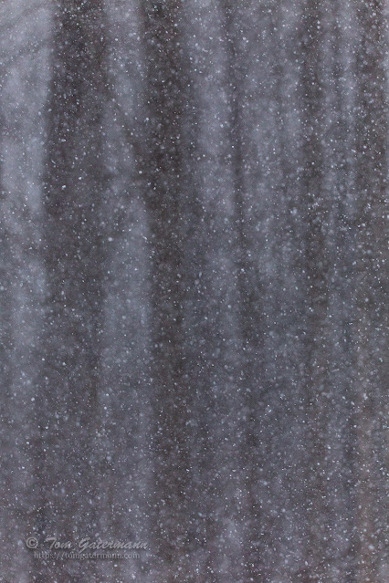 |
| Typical snow falling at the start of the snow squall. |
The snow squall started out with what I would call typical snow fall for the area. However, within minutes of the snow starting to fall the squall brought white-out conditions.
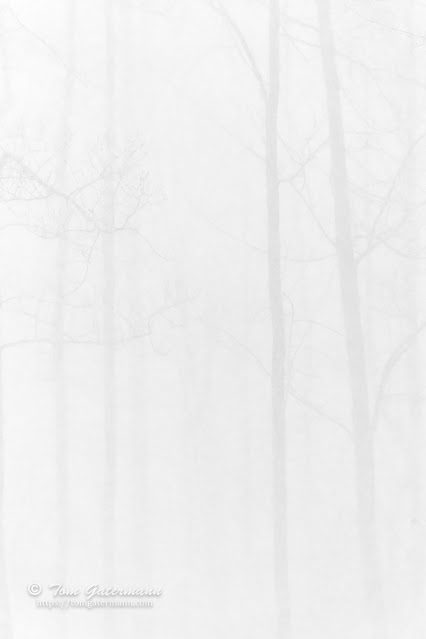 |
| The tree line of the forest is fifty feet from my vantage point. |
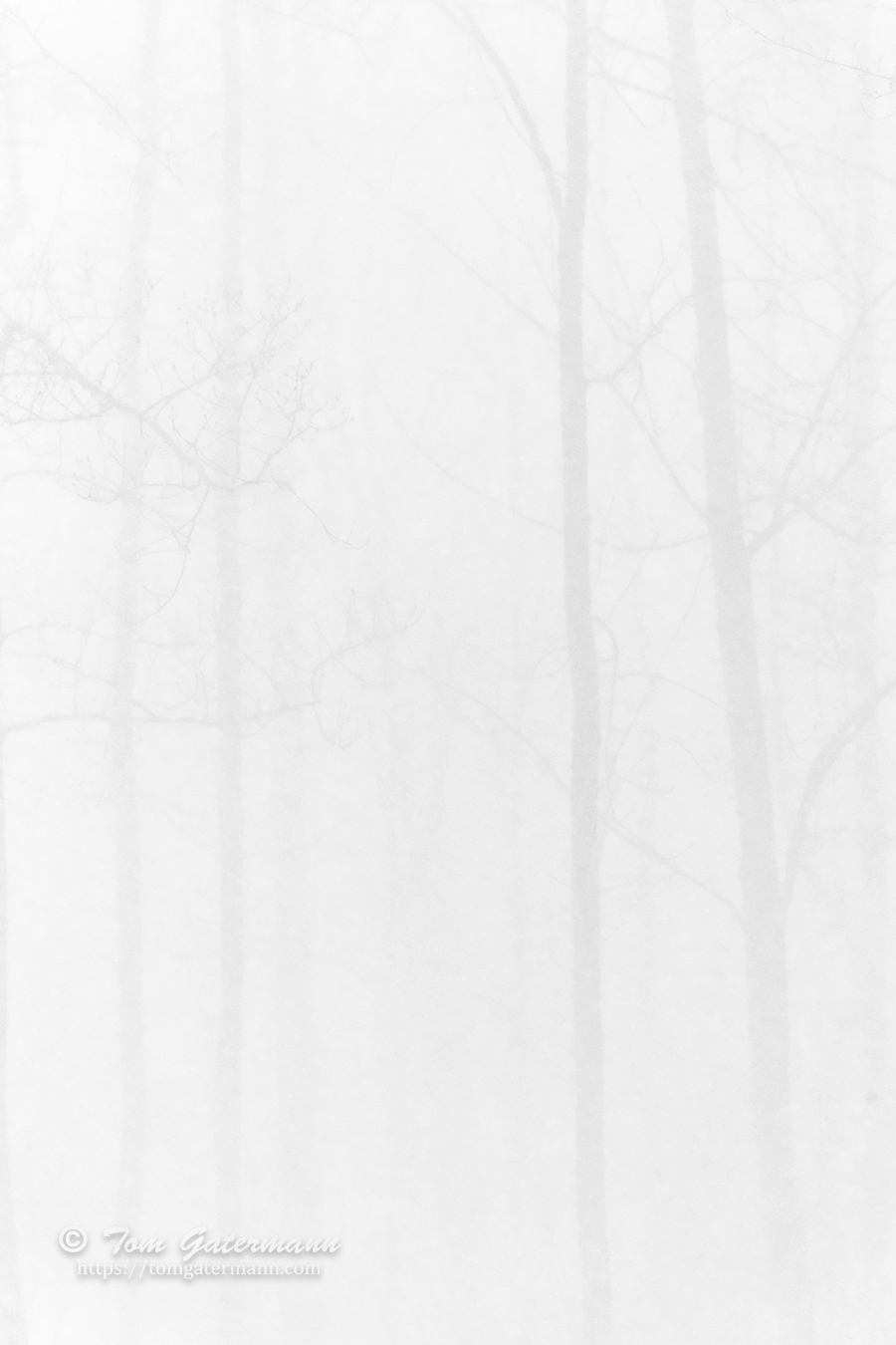
According to the National Weather Service, a snow squall is an intense snowstorm with high wind gusts that is much shorter in duration than a blizzard. They are often accompanied by a sudden drop in temperature which can cause the snow to freeze, leading to dangerous driving conditions. The snow and winds were so intense during this snow squall that the visibility of the forest behind my house, which is only about fifty feet away, was almost completely blocked.
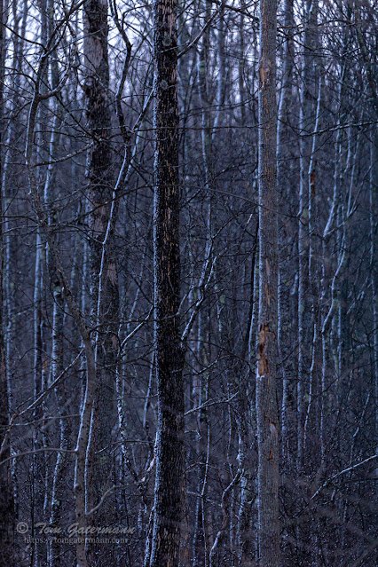 |
| Snow from the squall is stuck to the bark on the sides of the trees. |
After the snow squall had passed, the trees in the forest behind my house were left with snow stuck to the west side of the tree trunks.
Photographs taken on February 19, 2022, near Syracuse, New York.



Great shots and interesting to see the differences. Love the last shot with the snow on the bark.
ReplyDeleteThanks, Shelly. It was quite a sight to see in person.
Delete